California has more world-class scenic drives than any other state — and most visitors only experience one of them. While the Pacific Coast Highway gets all the attention, the Golden State hides a dozen equally stunning routes through ancient redwood forests, volcanic moonscapes, alpine passes above 10,000 feet, and desert valleys that sit below sea level. Here are twelve drives that prove California’s interior is just as spectacular as its coastline.
1. Tioga Road (Highway 120) — Yosemite National Park
Distance: 46 miles | Highest point: 9,945 ft (Tioga Pass) | Season: June–October
Yosemite Valley gets the crowds, but Tioga Road gets the views. This high-altitude highway crosses the Sierra Nevada through Tuolumne Meadows, past granite domes, alpine lakes, and wildflower meadows that most Yosemite visitors never see. Tenaya Lake is one of the most stunning roadside lakes in America — crystal-clear water framed by polished granite. The road closes in winter and often doesn’t open until late June depending on snowpack. A Yosemite entrance fee and summer reservation are required.
2. Avenue of the Giants
Distance: 31 miles | Season: Year-round
This parallel route to Highway 101 in Humboldt County takes you through the largest remaining stands of old-growth coast redwoods on Earth. These are the tallest trees in the world — some over 350 feet — and driving beneath their canopy feels like entering a cathedral made of living wood. The road is shaded, quiet, and deeply peaceful. Founders Grove has the Dyerville Giant, a fallen redwood that was once the world’s tallest tree. Free to drive, though some trailheads charge a parking fee.
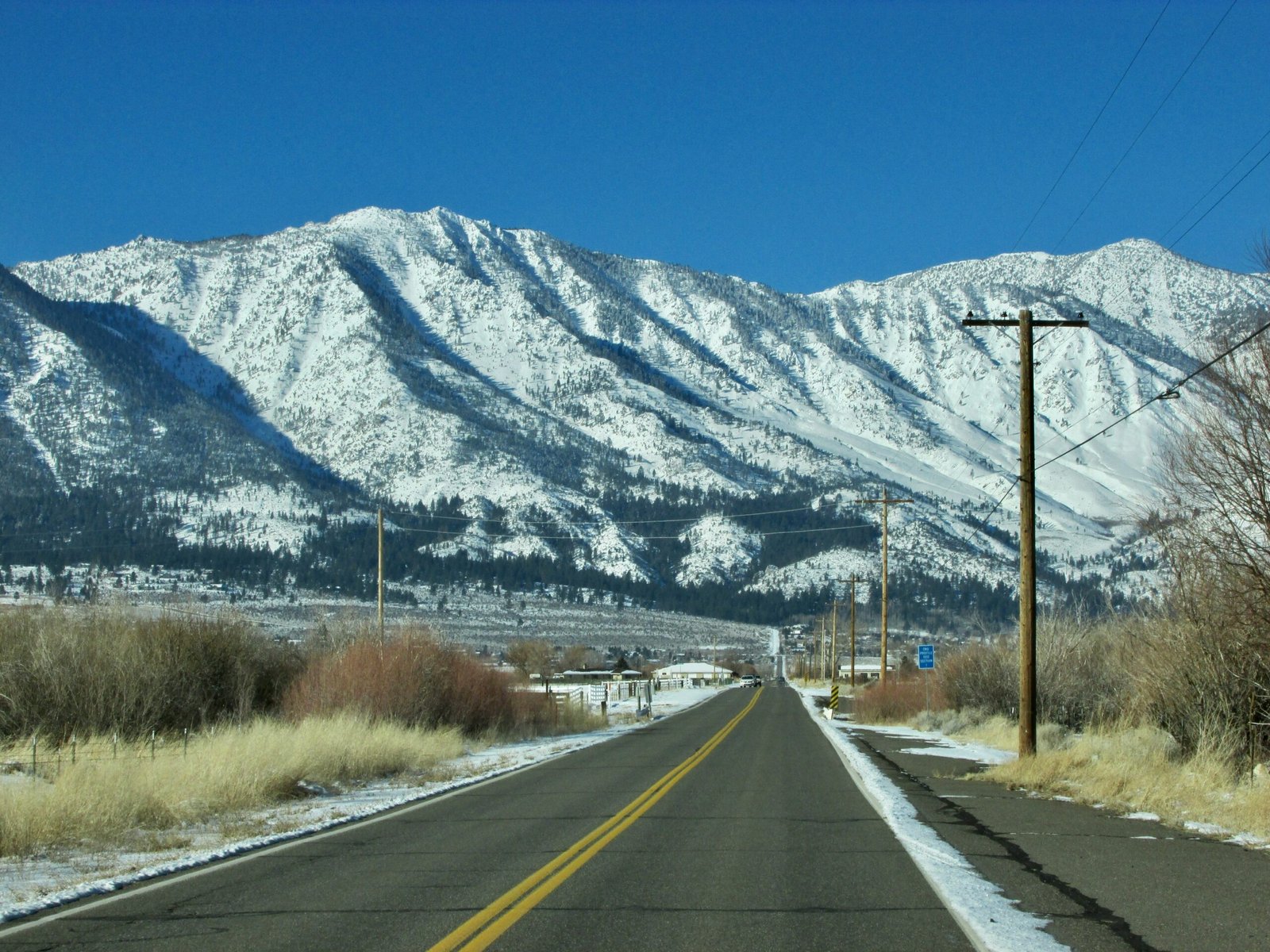
3. Highway 395 — Eastern Sierra Scenic Route
Distance: 360 miles (Bishop to Bridgeport) | Season: Year-round (some side roads seasonal)
The eastern face of the Sierra Nevada is one of the most dramatic mountain walls on the continent, and Highway 395 runs right along its base. The Alabama Hills near Lone Pine offer surreal boulder formations that have been used as backdrops in hundreds of western films. Mono Lake is an ancient, otherworldly salt lake with eerie tufa towers rising from its surface. Bodie Ghost Town, accessible from a side road, is one of the best-preserved ghost towns in the West. Many consider 395 a better drive than PCH — with a fraction of the traffic.
4. Death Valley Scenic Drive
Distance: 80+ miles | Season: October–April (summer temps exceed 130°F)
North America’s hottest, driest, and lowest point is also one of its most visually striking landscapes. Badwater Basin sits 282 feet below sea level — the lowest elevation in the Western Hemisphere. The drive from Furnace Creek to Dante’s View climbs 5,000 feet to an overlook where you can see both the lowest point in North America and the highest point in the contiguous US (Mount Whitney) in a single panorama. Artist’s Drive is a one-way loop through hills painted in pinks, greens, yellows, and purples by volcanic minerals. Visit between November and March for comfortable temperatures.
5. Rim of the World Scenic Byway (Highway 18)
Distance: 110 miles | Highest point: 7,000+ ft | Season: Year-round
Just ninety minutes from downtown Los Angeles, this mountain highway climbs from the smog of the Inland Empire into pine forests with views stretching to the Pacific Ocean on clear days. The route passes Big Bear Lake, a popular year-round resort area. In winter, the contrast between palm trees in the valley and snow-covered pines at the summit is surreal. One of the most accessible mountain drives in Southern California.
6. Volcanic Legacy Scenic Byway
Distance: 500 miles (California section) | Season: Year-round (higher elevations seasonal)
Running from Lake Almanor to the Oregon border, this route traverses California’s volcanic north — a region most Californians never visit. Mount Shasta dominates the skyline, a 14,179-foot volcanic cone that looks like it belongs in Japan. Lassen Volcanic National Park features boiling mud pots, fumaroles, and the drive up to the parking area of Lassen Peak. Medicine Lake Highlands is a shield volcano with a glassy obsidian flow and ice caves. This is California’s empty quarter — dramatic, remote, and virtually tourist-free.
7. Palms to Pines Scenic Byway (Highway 74)
Distance: 67 miles | Season: Year-round
Starting in the desert heat of Palm Desert and climbing to the cool pine forests of the San Jacinto Mountains, this route delivers one of the most dramatic elevation changes in Southern California. In under two hours of driving, you pass through five different ecological zones — from Sonoran desert through chaparral and oak woodland to mountain conifer forest. The viewpoints looking back over the Coachella Valley are staggering, especially at sunset.
8. Kings Canyon Scenic Byway (Highway 180)
Distance: 50 miles | Season: May–November
This dead-end road plunges into one of the deepest canyons in North America — Kings Canyon is over 8,000 feet deep at its maximum, deeper than the Grand Canyon. The drive from Grant Grove to Cedar Grove descends along the South Fork of the Kings River through a granite canyon that rivals Yosemite for scale but draws a tiny fraction of the visitors. The Grizzly Falls viewpoint, where a waterfall crashes directly beside the road, is a highlight. Because the road dead-ends, you drive the same spectacular route back.
9. Silverado Trail — Napa Valley
Distance: 30 miles | Season: Year-round
While most Napa visitors crawl along congested Highway 29, the parallel Silverado Trail offers the same vineyard views with significantly less traffic. The road runs along the eastern edge of the valley, passing dozens of tasting rooms and offering views of orderly vine rows stretching toward the Mayacamas Mountains. Best in autumn when the vines turn gold and harvest is in full swing. Combine with the Oakville Grade cross-valley road for a scenic loop.
10. Mulholland Drive — Los Angeles
Distance: 21 miles (paved section) | Season: Year-round
Named after the man who brought water to LA, Mulholland Drive winds along the crest of the Santa Monica Mountains with views of the San Fernando Valley on one side and the Los Angeles basin on the other. On clear days — especially after winter rain — you can see from downtown skyscrapers to the Pacific Ocean. The Hollywood sign is visible from multiple points. Drive it at sunset when the city lights begin twinkling. The paved section from Hollywood to the 405 Freeway is the most scenic.
11. Lassen Volcanic National Park Loop
Distance: 30 miles | Highest point: 8,512 ft | Season: June–October
The main road through Lassen Volcanic National Park is one of California’s most underrated drives. You pass all four types of volcanoes in one park — shield, composite, cinder cone, and plug dome. Bumpass Hell, accessible from a short trail off the road, is the park’s largest hydrothermal area with boiling mud pots and fumaroles. The Devastated Area shows the still-visible blast zone from Lassen Peak’s 1915 eruption. With fewer than 500,000 annual visitors compared to Yosemite’s 4 million, you’ll often have viewpoints to yourself.
12. Sonora Pass (Highway 108)
Distance: 60 miles | Highest point: 9,624 ft | Season: May–November
The steepest highway pass in the Sierra Nevada, with grades exceeding 26% on the east side. Sonora Pass is raw, dramatic, and far less traveled than Tioga or Donner Pass. The western approach climbs through pine forest and granite cliffs, while the eastern descent drops into the high desert of the Great Basin through a series of switchbacks that feel almost alpine European. Not recommended for large RVs or trailers due to steep grades and tight turns.
California road trip tip: Many of the best mountain drives in California close for winter snow — typically from November through May or June. Always check Caltrans road conditions at quickmap.dot.ca.gov before driving any Sierra Nevada pass road. The website shows real-time closures, chain requirements, and construction delays.
Frequently asked questions

Leave a Reply