I am serious about this, Colorado packs more dramatic elevation change into its scenic drives than almost any other state. In a single day, you can climb from 5,000-foot plains to 12,000-foot alpine passes, threading through narrow canyons, past 14,000-foot peaks, and across wildflower meadows that stretch to the horizon. These ten routes represent the best of Colorado’s mountain driving.
1. Trail Ridge Road — Rocky Mountain National Park
Distance: 48 miles | Highest point: 12,183 ft | Season: Late May–mid-October
The highest continuous paved road in North America spends 11 miles above tree line, where the landscape resembles arctic tundra more than the American West. Views of the Continental Divide are endless in every direction. The Alpine Visitor Center at 11,796 feet is the highest visitor center in the National Park system. Watch for elk herds, which frequently graze right beside the road. A vehicle reservation through Recreation.gov is required during peak season.
2. Independence Pass (Highway 82)
Distance: 32 miles | Highest point: 12,095 ft | Season: Late May–early November
Connecting Aspen to Leadville, this narrow two-lane road climbs through aspen groves to a barren, windswept summit that feels like the top of the world. The final approach to the pass is a series of tight switchbacks carved into loose rock — thrilling driving with jaw-dropping exposure. At the summit, a short walk leads to views of the Continental Divide stretching in both directions. Not recommended for large RVs or trailers.
3. Million Dollar Highway (US 550)
Distance: 25 miles | Highest point: 11,018 ft (Red Mountain Pass) | Season: Year-round (chains may be required in winter)
The most famous — and most nerve-wracking — scenic drive in Colorado. The 25-mile stretch between Silverton and Ouray has no guardrails on many sections, with sheer drop-offs of 1,000+ feet into the Uncompahgre Gorge. The road carves through three mountain passes and passes abandoned mining structures clinging to impossibly steep slopes. The name supposedly comes from the gold ore used in the original road construction. Not for the faint of heart, but unforgettable.
4. Mount Evans Scenic Byway
Distance: 28 miles | Highest point: 14,130 ft | Season: Late May–early October
The highest paved road in North America takes you to the summit of a 14er without any hiking. The drive from Idaho Springs to the summit gains over 7,000 feet of elevation, passing through five distinct ecological zones — from montane forest to alpine tundra. Mountain goats are commonly spotted near the summit. Expect cool temperatures even in summer; the top can be 40 degrees colder than Denver.
5. San Juan Skyway
Distance: 233 miles (full loop) | Highest point: 10,910 ft | Season: Year-round (portions close in heavy snow)
This All-American Road forms a loop through the heart of the San Juan Mountains, connecting Durango, Silverton, Ouray, Telluride, and Cortez. It includes the Million Dollar Highway as its most dramatic section but also passes through charming old mining towns, past ancient Ancestral Puebloan cliff dwellings at Mesa Verde, and through some of the finest fall color in the state. Allow two full days for the complete loop.
6. Peak to Peak Highway
Distance: 55 miles | Highest point: 9,510 ft | Season: Year-round
Colorado’s oldest scenic byway connects Estes Park to Central City along a high mountain route with views of the Continental Divide. Less dramatic than some others on this list but more accessible and beautiful in a gentler way. The aspens along this route turn a spectacular gold in late September. Excellent for families and less confident mountain drivers.
7. Guanella Pass
Distance: 22 miles | Highest point: 11,669 ft | Season: June–October
A less-visited gem connecting Georgetown to Grant. The road climbs through dense spruce forest to an open alpine summit with views of Mount Bierstadt (14,060 ft), one of the most popular beginner 14ers. Wildflower displays in July are extraordinary. The road is paved but narrow with no center line near the summit. A wonderful half-day drive that feels remote despite being only an hour from Denver.
8. Highway 12 — Highway of Legends
Distance: 82 miles | Highest point: 9,941 ft (Cucharas Pass) | Season: Year-round
One of Colorado’s least-known scenic byways, running along the base of the Spanish Peaks through ranch country and high mountain passes. The volcanic dikes — massive walls of rock radiating from the peaks like spokes on a wheel — are a geological wonder visible from the road. Very light traffic compared to the mountain routes further west.
9. Cottonwood Pass
Distance: 32 miles | Highest point: 12,126 ft | Season: June–October
Recently paved all the way to the summit (it was previously gravel on the west side), Cottonwood Pass now rivals Independence Pass for high-altitude driving but without the crowds. The western descent into Taylor Canyon is spectacularly narrow, dropping alongside a rushing mountain stream through a tight rock gorge.
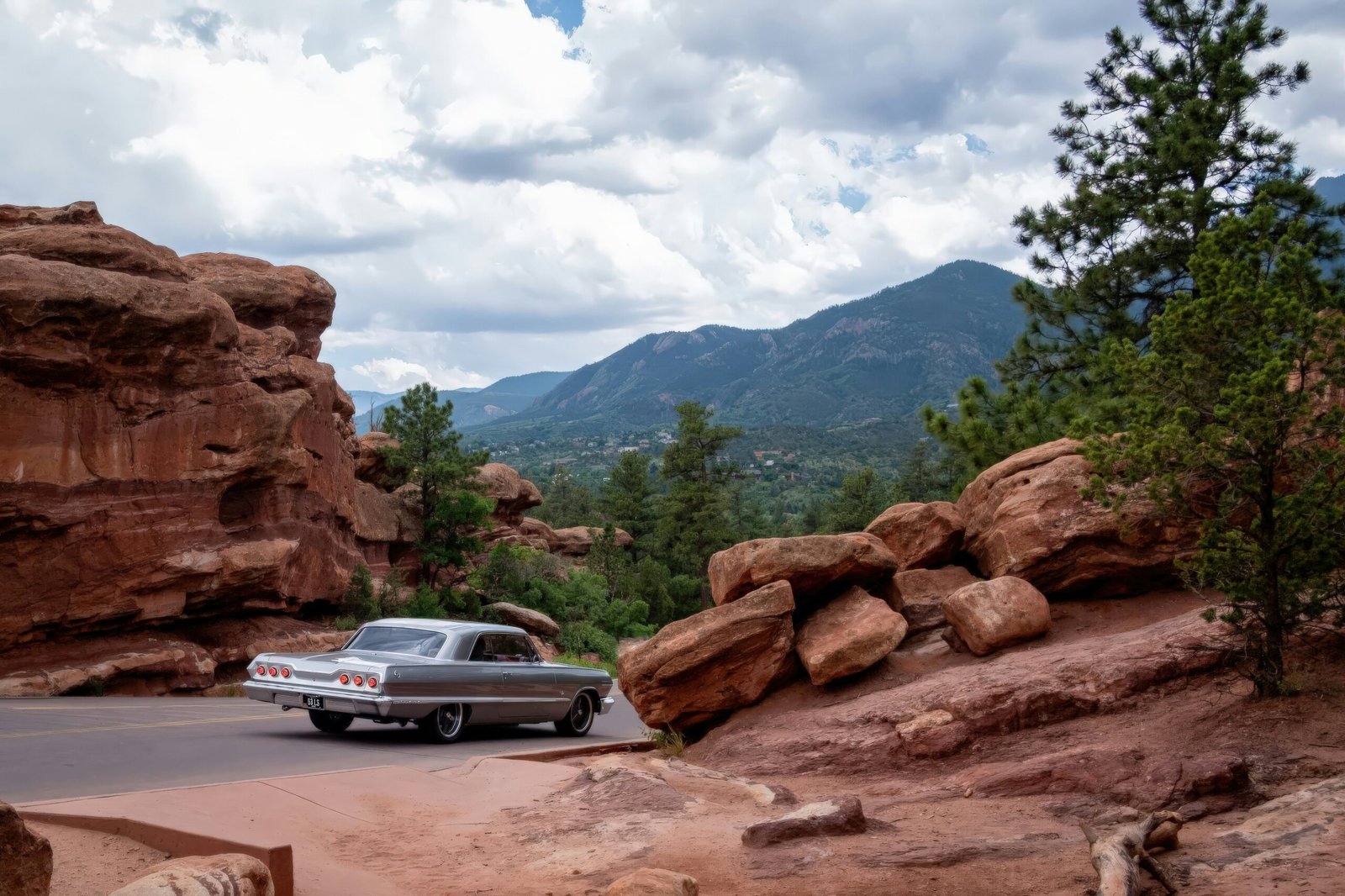
10. Colorado National Monument (Rim Rock Drive)
Distance: 23 miles | Highest point: 6,640 ft | Season: Year-round
A completely different Colorado experience — red rock canyons, desert vistas, and sandstone monoliths rising from a high desert landscape. This feels more like Utah than Colorado, and the dramatic scenery rivals any national park. The road tunnels through rock formations and hugs cliff edges above 500-foot canyon walls. It’s stunning at sunset when the red rock glows.
Altitude awareness: Several of these drives go above 12,000 feet, where altitude sickness can affect anyone regardless of fitness level. Symptoms include headache, nausea, and shortness of breath. Stay hydrated, avoid alcohol the night before a high-altitude drive, and take the summit slowly. If symptoms become severe, descend immediately.
Frequently asked questions

Leave a Reply