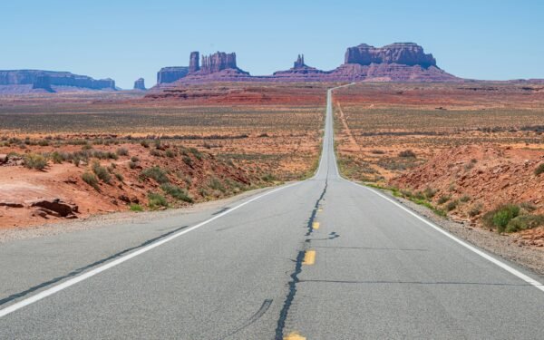
The Overseas Highway is unlike any road in America. For 113 miles, US Route 1 hops across 42 bridges connecting a chain of coral and limestone islands from mainland Florida to Key West, with nothing but turquoise water on both sides. The Seven Mile Bridge alone — a ribbon of concrete stretching across open ocean — is one of the most extraordinary stretches of highway ever built.
Route overview
The Overseas Highway begins at Florida City, south of Miami, and ends at Key West. The drive follows the route of Henry Flagler’s Overseas Railway, completed in 1912 and destroyed by a hurricane in 1935. The current highway, completed in 1938, incorporated many of the railway’s bridges and causeways. Mile markers count down from MM 126 near Florida City to MM 0 in Key West, and locals use these markers as addresses — a restaurant “at MM 81” is a more precise location than a street name.
Quick facts
113 miles (181 km)
42 bridges total
3.5–4 hours nonstop
December–May
45 mph most sections
None
Key stops along the way
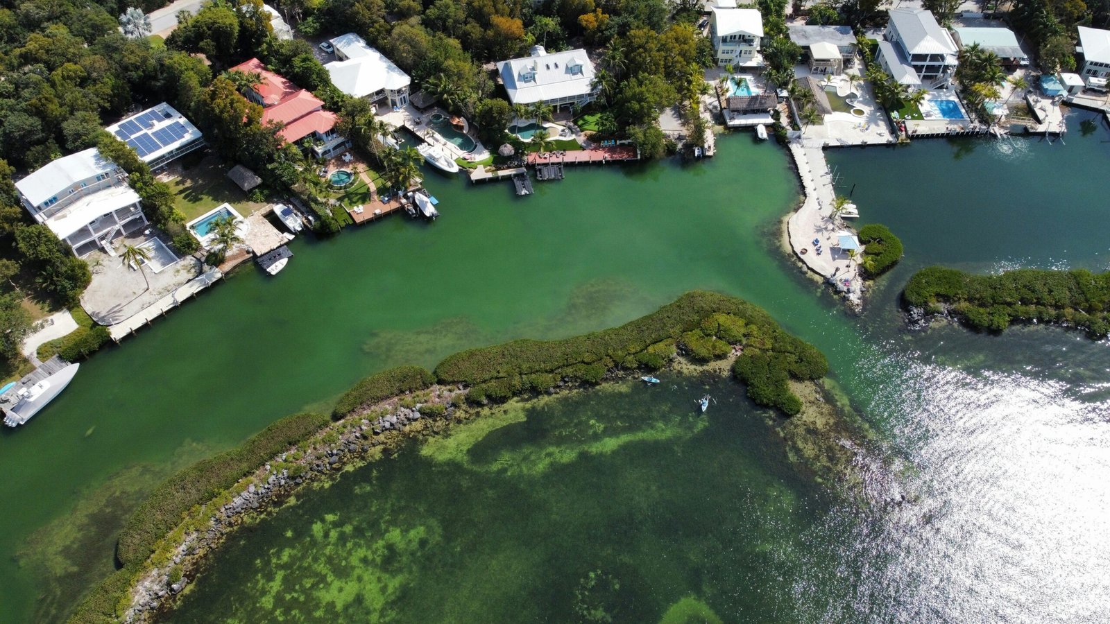
Key Largo (MM 106–91)
The first and largest Key. John Pennekamp Coral Reef State Park offers snorkelling and glass-bottom boat tours over the only living coral reef in the continental US. The underwater Christ of the Abyss statue is visible through clear water from a boat. Key Largo is also the dive capital of the Keys — dozens of operators run trips to nearby reef and wreck sites.
Islamorada (MM 90–72)
The “Sport Fishing Capital of the World.” Even if you don’t fish, Robbie’s Marina is worth a stop to hand-feed massive tarpon from the dock — they leap out of the water to grab fish from your hands. Theater of the Sea, one of the oldest marine parks in the world, offers dolphin encounters. The restaurants here serve some of the freshest seafood in the Keys.
Seven Mile Bridge (MM 47–40)
The centrepiece of the entire drive. The modern Seven Mile Bridge runs parallel to the original Flagler-era bridge, which you can see crumbling gracefully beside you. Driving across open ocean for seven uninterrupted miles, with water visible in every direction and nothing but a low railing between you and the Atlantic, is a genuinely unique American driving experience. The old bridge is partially open for walking and cycling — access from the Marathon end.
Bahia Honda State Park (MM 37)
Consistently rated among the best beaches in the United States. The sand is soft, the water is clear, and the snorkelling off the beach is excellent. The park has camping and picnic facilities. The old Bahia Honda Bridge towers over the park and is an impressive sight — you can walk partway across for panoramic views.
Key West (MM 0)
The end of the road — literally the southernmost point in the continental US. Key West is a world unto itself: pastel-coloured Victorian houses, roaming chickens, Duval Street nightlife, and a sunset celebration at Mallory Square every evening. Visit the Ernest Hemingway Home (and its famous six-toed cats), the Harry S. Truman Little White House, and Fort Zachary Taylor State Park for the island’s best beach.
Budget breakdown (per person per day)
| Expense | Budget | Mid-Range |
|---|---|---|
| Gas | $15–$20 | $15–$20 |
| Accommodation | $60–$100 (off-season) | $150–$300 (peak) |
| Food | $30–$50 | $60–$100 |
| Activities | $10–$30 | $40–$80 |
| Daily total | $115–$200 | $265–$500 |
Timing tip: The Keys have only one road in and one road out. Weekend traffic heading south on Friday evenings and returning north on Sundays can be brutal — expect 2+ hour delays at the top of the Keys. Travel midweek if possible, or leave Miami before 8 AM on Fridays to beat the rush.
Leave a Reply