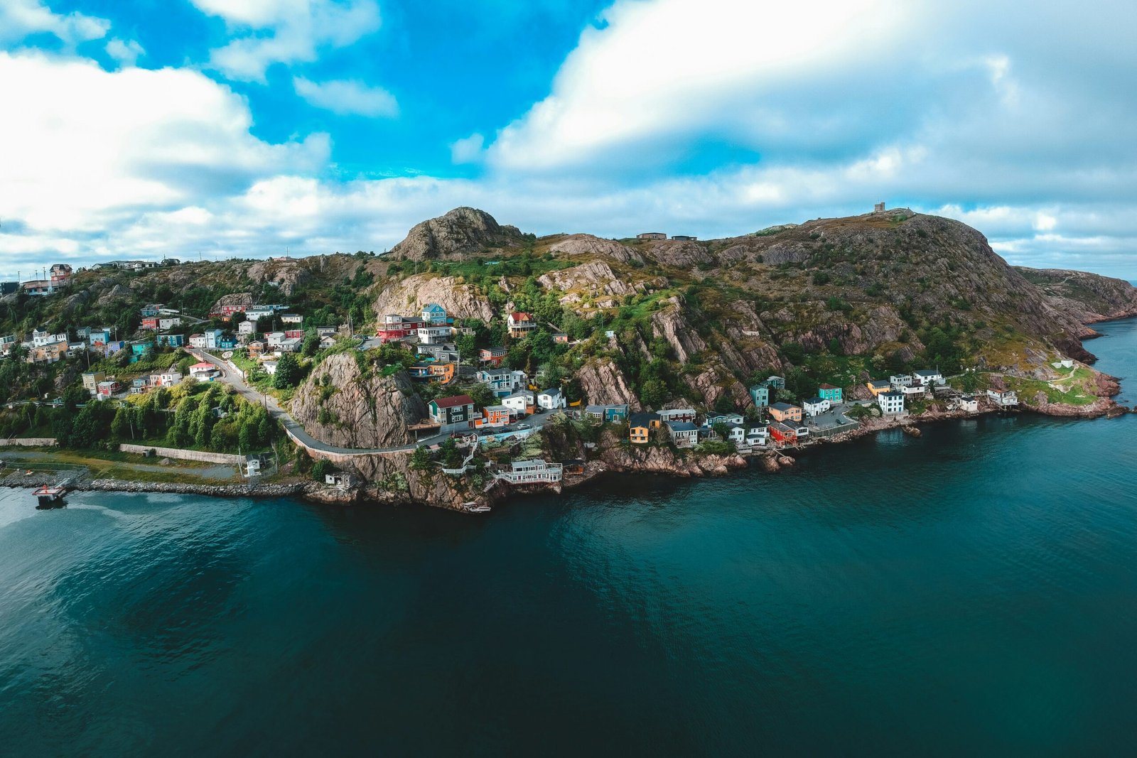
Lets talk about The Viking Trail in Newfoundland isn’t just a scenic drive—it’s a journey through 1,000 years of human history and some of the most dramatic coastal landscapes in North America. This legendary route stretches 489 kilometers (304 miles) along Newfoundland’s Northern Peninsula, from Deer Lake to L’Anse aux Meadows, where Norse explorers first set foot in the New World five centuries before Columbus. Along the way i saw, and you’ll traverse ancient fjords, encounter massive icebergs, witness UNESCO World Heritage sites, and experience the raw beauty of Canada’s easternmost frontier. Pack your sense of adventure—the Viking Trail demands respect, rewards patience, and delivers memories that last a lifetime.
Deer Lake to Rocky Harbour via Route 430
Distance: 72 kilometers (45 miles)
Best Season: Late May to early October
Driving Time: 1.5 hours
Our Viking Trail adventure begins at the gateway town of Deer Lake, where Route 430 branches north from the Trans-Canada Highway. This opening stretch serves as a perfect introduction to Newfoundland’s rugged interior, winding through dense boreal forests of black spruce and balsam fir. The road gradually climbs through the Long Range Mountains, offering glimpses of pristine lakes and distant peaks. As you approach Wiltondale around kilometer 35, watch for moose—they’re particularly active during dawn and dusk hours. The landscape opens dramatically as you near Rocky Harbour, with your first tantalizing views of Bonne Bay’s deep waters ahead. I suggest to stock up on supplies in Rocky Harbour, as services become increasingly sparse as you venture further north.
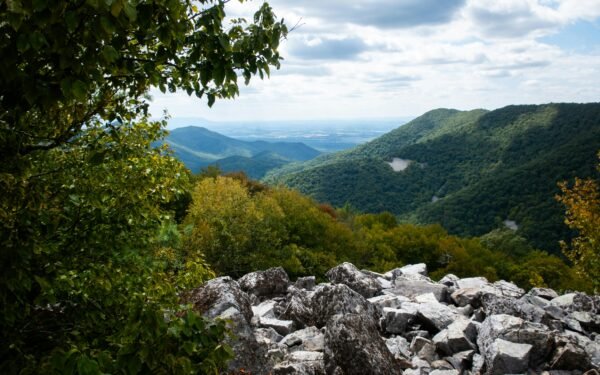
Gros Morne National Park Loop
Distance: 45 kilometers (28 miles)
Best Season: June to September
Driving Time: 2-3 hours with stops
I later observed that this UNESCO World Heritage site detour from Route 430 showcases some of Earth’s most ancient geology, with 1.2-billion-year-old rocks telling the story of continental collision. The loop begins at the Gros Morne National Park Visitor Centre in Rocky Harbour, following Route 431 inland toward Western Brook Pond. The highlight is the 30-kilometer Western Brook Pond Road, where towering fjord walls rise 600 meters straight from the water—though you’ll need to take the boat tour to truly appreciate this natural cathedral. Continue to Lobster Cove Head Lighthouse for panoramic coastal views, then complete the circuit back to Rocky Harbour. The Tablelands section along Route 431 offers an otherworldly landscape of orange-hued peridotite, resembling Mars more than maritime Canada.
Rocky Harbour to Cow Head
Distance: 48 kilometers (30 miles)
Best Season: June to September
Driving Time: 45 minutes
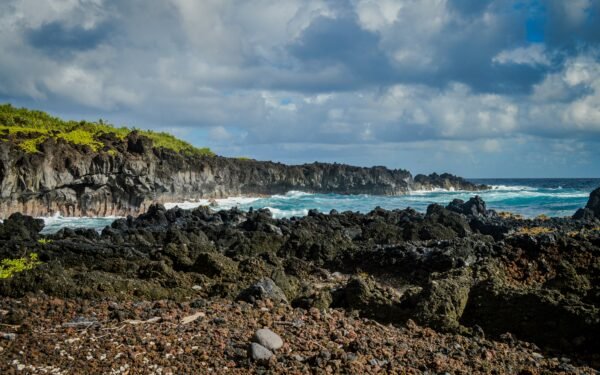
Leaving Gros Morne’s protection, Route 430 hugs the coastline as it winds toward the quirky village of Cow Head. This stretch offers your first serious taste of the Gulf of St. Lawrence’s power, with crashing waves and salt spray visible from the road during stormy weather. The drive passes through Sally’s Cove, where a short detour leads to excellent whale watching opportunities from June through September. Minke, humpback, and occasionally blue whales feed in these nutrient-rich waters. Cow Head itself sits on a distinctive limestone headland, home to fossils dating back 500 million years. The village also hosts the renowned Gros Morne Theatre Festival each summer, making it worth timing your visit to catch a performance in this intimate coastal setting.
Cow Head to Port au Choix
Distance: 85 kilometers (53 miles)
Best Season: May to October
Driving Time: 1.25 hours
The landscape shifts dramatically as you leave the mountains behind, entering a realm of windswept barrens and coastal plains. This section of Route 430 crosses several small rivers including the Torrent and Castor, with pullouts offering excellent photography opportunities of the increasingly barren terrain. Daniel’s Harbour, roughly halfway along this stretch, provides fuel and basic services—your last reliable stop before Port au Choix. The final approach to Port au Choix reveals vast peat bogs and tuckamore forests, where stunted trees grow horizontal due to constant maritime winds. Port au Choix National Historic Site protects a 5,500-year-old Maritime Archaic burial ground, offering profound insights into the peninsula’s first inhabitants. The visitor center provides excellent context for understanding the deep Indigenous history of this remarkable landscape.
Port au Choix to Hawke’s Bay
Distance: 63 kilometers (39 miles)
Best Season: June to September
Driving Time: 1 hour
This increasingly remote section of Route 430 traverses some of Newfoundland’s most pristine wilderness, with vast stretches of caribou habitat extending inland toward the interior plateau. The road crosses numerous salmon streams, including the famous Torrent River system, where Atlantic salmon return each summer to spawn. Bird watchers should keep eyes peeled for bald eagles, which nest along this coastline in surprising numbers. The small community of River of Ponds offers basic services and serves as a gateway to excellent hiking trails leading to hidden waterfalls and ancient Indigenous sites. As you approach Hawke’s Bay, the landscape becomes even more austere, with limestone barrens creating an almost Arctic atmosphere. This is excellent country for spotting caribou, particularly during their fall migration when herds move between summer and winter ranges.
Tip: Cell phone service becomes extremely spotty north of Port au Choix, so download offline maps beforehand and inform someone of your travel plans. Keep your fuel tank above half-full, as gas stations can be closed without notice, especially during shoulder seasons. Pack extra food, water, and warm clothing—weather can change rapidly along this exposed coastline.
Hawke’s Bay to St. Anthony
Distance: 95 kilometers (59 miles)
Best Season: June to October
Driving Time: 1.5 hours
The penultimate section of the Viking Trail carries you through increasingly dramatic terrain as the Northern Peninsula narrows toward its tip. Route 430 follows an ancient raised beach terrace, with the Gulf of St. Lawrence stretching endlessly eastward. This is prime iceberg territory—massive bergs calved from Greenland glaciers drift south along “Iceberg Alley” from April through July, some weighing millions of tons and standing 15 stories above water. The road passes through Port Saunders, where a brief detour leads to excellent iceberg viewing points at Anchor Point. As you approach St. Anthony, watch for the distinctive profile of fishing boats heading to the Grand Banks. St. Anthony itself serves as the region’s service hub, with the Grenfell Historic Properties commemorating the legendary medical missionary Sir Wilfred Grenfell, who served this remote region for decades.
St. Anthony to L’Anse aux Meadows
Distance: 37 kilometers (23 miles)
Best Season: June to September
Driving Time: 45 minutes
The final leg of the Viking Trail follows Route 436 as it branches northeast from St. Anthony toward the ultimate destination. This narrow road winds through increasingly austere landscape, where centuries of wind and salt spray have created a unique ecosystem of hardy shrubs and specialized plants. Sacred Bay offers stunning views across the Strait of Belle Isle toward Labrador, just 18 kilometers away across the turbulent waters. The approach to L’Anse aux Meadows builds anticipation perfectly—you’re literally following in the footsteps of Leif Erikson and his Norse companions who established North America’s first European settlement here around 1000 CE. The UNESCO World Heritage site preserves not only archaeological remains but also reconstructed Norse buildings where costumed interpreters demonstrate Viking-age crafts and daily life during summer months.
L’Anse aux Meadows to Cape Norman
Distance: 15 kilometers (9 miles)
Best Season: July to September
Driving Time: 20 minutes
For the truly adventurous, a rough gravel road extends beyond L’Anse aux Meadows to Cape Norman, the northernmost point accessible by vehicle in Newfoundland. This challenging drive requires careful attention, as the road deteriorates significantly beyond the main archaeological site. However, the rewards are substantial—Cape Norman offers unobstructed views across the Strait of Belle Isle, with Labrador’s imposing coastline dominating the northern horizon. On clear days, you can see the distinctive profile of the Torngat Mountains rising in the distance. This windswept promontory provides a fitting conclusion to the Viking Trail, standing at the edge of the continent where Arctic and Atlantic waters meet. The cape’s lighthouse, though automated now, has guided vessels through these treacherous waters since 1901. Pack warm clothing—even in summer, temperatures here can be surprisingly chilly.
Quirpon Island Extension
Distance: 12 kilometers (7.5 miles) plus boat transfer
Best Season: June to August
Driving Time: 25 minutes plus 15-minute boat ride
This adventurous side trip from L’Anse aux Meadows requires advance planning but rewards intrepid travelers with an authentic taste of outport Newfoundland life. The road to Quirpon village passes through some of the peninsula’s most remote terrain, ending at a small wharf where local operators provide boat transfers to Quirpon Island. The island hosts a beautifully restored lighthouse inn, offering overnight accommodations in one of Canada’s most isolated settings. Quirpon Island provides exceptional whale watching opportunities—humpback, minke, and fin whales feed in the nutrient-rich waters surrounding the island throughout summer months. The island’s position at the mouth of the Strait of Belle Isle also makes it a prime iceberg viewing location. Icebergs often ground in the shallow waters nearby, creating spectacular photography opportunities. Advance reservations are essential for both boat transfers and accommodations.
Battle Harbour Detour via Blanc-Sablon
Distance: 85 kilometers (53 miles) each way plus ferry
Best Season: June to September
Driving Time: 2 hours plus ferry time
While technically extending beyond Newfoundland into Quebec and Labrador, this remarkable detour deserves inclusion for serious Viking Trail enthusiasts. From L’Anse au Loup (accessible via ferry from St. Barbe), Route 510 extends eastward along Labrador’s coast to the historic outport of Battle Harbour. This preserved 19th-century fishing station offers an unparalleled glimpse into the lives of fishermen and merchants who built fortunes on Labrador’s cod fishery. The drive itself traverses subarctic tundra landscape, with caribou herds, Arctic foxes, and other northern wildlife frequently visible. Battle Harbour island, reached by zodiac boat from Mary’s Harbour, features restored buildings, interpretive programs, and some of Canada’s most authentic heritage accommodations. The isolation is profound—no roads, no vehicles, just the sounds of wind, waves, and seabirds in one of North America’s most pristine historical settings.
Return Journey: Coastal Discovery Route
Distance: 489 kilometers (304 miles)
Best Season: May to October
Driving Time: 8-10 hours without stops
While many travelers simply retrace their route south, the return journey offers opportunities to experience the Viking Trail from a completely different perspective. Southbound travelers benefit from different lighting conditions, particularly during golden hour photography sessions. Consider timing your return to coincide with seasonal changes—fall brings spectacular foliage to the Long Range Mountains, while spring offers different wildlife viewing opportunities as migratory birds return to their breeding grounds. The return journey also provides chances to revisit favorite locations with fresh eyes, perhaps catching that perfect iceberg photograph or wildlife encounter that eluded you on the northbound leg. Many seasoned Viking Trail veterans actually prefer the southbound experience, as the anticipation of returning to civilization adds poignancy to the wilderness experience. Plan for fuel stops in St. Anthony, Port au Choix, and Rocky Harbour—these are your only reliable service points along the entire route.
Frequently Asked Questions
Leave a Reply